
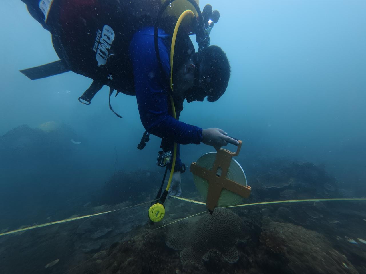
The Department of Fisheries conducted a practical coral reef monitoring field activity, focusing on standardised underwater image acquisition and survey techniques.
The activity included a pre-dive safety and equipment briefing, followed by coral surveys at 7–12 m depth using transect-based image collection. Two teams conducted the survey along the same transect lines to support test calibration and consistency in data collection.
Following the dives, the team carried out data QA/QC, including image selection and verification, before uploading the filtered survey data and metadata to ReefCloud for AI-assisted point annotation.